|
Lakes Online
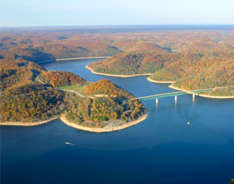
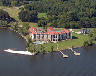
LakesOnline.com is a resource for lake and reservoir information.
We currently have 1681 lake sites in the United States.
Lakes Online is the largest online community for lake enthusiasts.
Comprising of free memberships, members can participate in free boat classifieds, news and level alerts, forums, photo sharing and much more.
Find your favorite lake and become a member. It's a good way to meet your lake neighbors!


Alabama (85)
Alaska (52) Arizona (26) Arkansas (69) California (78) Colorado (36) Connecticut (25) Delaware (5) Florida (89) Georgia (43) Idaho (11) Illinois (69) Indiana (29) Iowa (14) Kansas (11) Kentucky (14) Louisiana (29)
Maine (32)
Maryland (7) Massachusetts (4) Michigan (66) Minnesota (86) Mississippi (15) Missouri (12) Montana (9) Nebraska (9) Nevada (10) New Hampshire (11) New Jersey (17) New Mexico (11) New York (42) North Carolina (34) North Dakota (6) Ohio (19)
Oklahoma (47)
Oregon (17) Pennsylvania (29) Rhode Island (4) South Carolina (14) South Dakota (6) Tennessee (53) Texas (147) Utah (134) Vermont (10) Virginia (22) Washington (4) West Virginia (9) Wisconsin (105) Wyoming (4) FEATURED LAKE
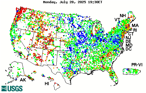
CURRENT DAILY STREAMFLOW CONDITIONS
|
||||||||||||||||||||||||||||||||||||||
|
|
|||||||||||||||||||||||||||||||||||||||

 High
High 90th percentile
 75th - 89th percentile
 25th - 74th percentile
 10th - 24th percentile
 10th percentile
 Low
Low Not ranked